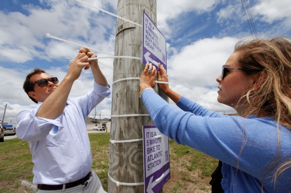
The first thing you do when arriving in a new city is plotting a route. It is good if you have already been taken care of and have a colorful and clear navigation system, but it is not always like that. And in such case, the navigation created by enthusiasts can greatly help.
In 2012, American Matt Tomasulo attended to this problem and came up with the project Walk Your City. Its essence is in the signs, located throughout the city, indicating the route to the nearest pharmacies, schools, parks and beaches and the time that will be spent on the road.

With these actions, the author of the project decided to change the citizens' perception of the distances - it turned out that sometimes walking is faster than getting by transport. Other benefits are also obvious: health benefits, increased social contacts and support for small businesses.

When creating such a navigation system, several features need to be taken into account: the distance should not be longer than 20 minutes, the inscriptions should be clear, and if objects have unofficial names that are often used by citizens, then it is better to use them.

